Bulkley Valley
Quad Riders
"It's Just Too Much Fun"
 16.4°C
NW 18.3 km
Gentle Breeze
16.4°C 16.4°C - NW 18.3 km/h Gentle Breeze
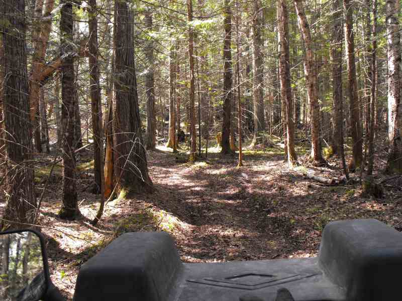
Our ride catalogue is expanding as new rides are travelled and mapped. An overview of the current catalogue is on our home page.
| Description | Statistic |
|---|---|
| Ride Difficulty1: | Easy |
| RAMP Designation:† | Not Applicable |
| Season: | May through October |
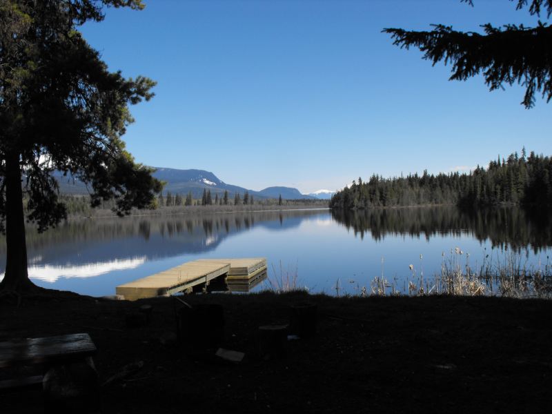
| Parking and Ride Start: | 4 km on the Kitwanga Back Road Vicinity of Old Hazelton. |
| Directions: | map directions |
| Start Elevation: | 212 metres |
| End Elevation: | 422 metres |
| Total Kilometres: | 32 (round trip) |
| Running Time: | 2 hrs 11 min |
| Total Time: | 3 hours 57 min |
| Average Speed: | 18 kilometres/hour |
May 16, 2011
Download the zip file which includes: ride details, topographic map, ride start directions, the GPS exchange format . gpx file and the Garmin Mapsource .gdb file.
† RAMP - Recreation Access Management Plan: applicable only to the Bulkley Timber Supply Area within the Skeena Stikine Forest District.
Note: set your printer to "Print Background (colors & images)" to print the google map.
